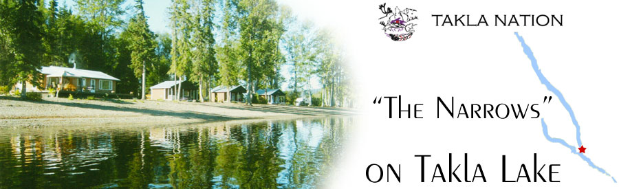


The Narrows Campground

Driving Directions to The Narrows Campground:
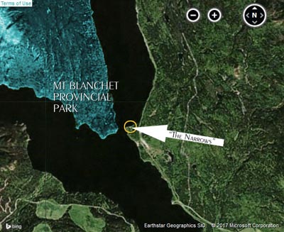
GPS Coordinates: 55.169818 -125.7167434 miles north of Fort St James, turn left onto the Tachie Rd.
Go approximately 40 km on the Tachie Rd.
Turn right onto the Leo Creek Forest Rd.
At 38kms on the Leo Creek Forest Road, turn left onto the 300 Road.
Continue on the 300 Road, keep right at 363.5 and 366.5.
Keep going past the 367 km sign, you are almost there.
Roads are paved to the Leo Creek Forest Road,
gravel from there to "The Narrows".
It is approximately 3 hours from Fort St. James.
The trip is 200 kms (125 miles).
It is approximately 2 1/2 hours from Fort St. James.
The trip is 160 kms (100 miles).
Fort St. James is the last fuel stop, please ensure you have enough fuel for the return trip.